The collection of ancient maps
Title:
The collection of ancient maps
Producer:
John Speed
Legend:
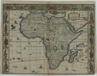
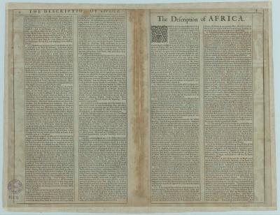
This “carte à figures” by John Speed is the first English map of the African continent. It was initially published in 1627 in his atlas ‘A Prospect of the Most Famous Parts of the World’. Our map is the third state, of 1676. Willem Janzs. Blaeu’s map of 1617 served as a model. The verso text of the map can be seen in the following image.
Place of production:
United Kingdom > London
Dimensions:
Map size: 39,4 cm x 51,3 cm / Paper size: 41,6 cm x 53, 2 cm
Inventory number:
HO.1973.1.22