The collection of ancient maps
Title:
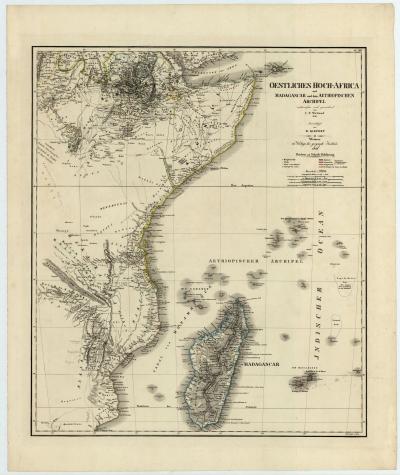
The collection of ancient maps
Producer:
C. F. Weiland
Legend:
The Weimar Geographical Institute was the most important publisher of atlases, maps and educational material in Germany at the beginning of the 19th century. This map is one of the first to show Eastern Africa in such detail.
Place of production:
Germany > Weimar
Dimensions:
Map size: 60,3 cm x 51,9 cm / Paper size: 72 cm x 60 cm
Inventory number:
HO.1995.65.8