RMCA researcher receives prestigious award for research on landslide hazard
Geographer Elise Monsieurs (RMCA) studies the rainfalls that trigger landslides in tropical Africa. For this, she was awarded a prize by the American Geophysical Union, the largest international network of researchers in the field of geosciences.

Landslides in tropical Africa
Studying the processes that lead to landslides, in order to be able to predict as precisely as possible where and when they occur, is one of the fields of activity of the RMCA's Natural Hazards Service.
One of the most vulnerable areas to landslides in Africa is the mountainous region north of Lake Tanganyika and around Lake Kivu in the East African Rift. Every rainy season triggers landslides across this densely populated tropical environment, often with disastrous consequences.
Yet very little is known about the rainfall patterns associated with these slope instabilities. Moreover, the tools and methods generally used by the scientific community to assess landslide hazard, are not adapted to the context of data scarcity that prevails in such a region.
Elise Monsieurs' doctoral research, carried out in partnership with the F.R.S.-FNRS, the BAEF, the University of Liège and NASA, has now led to a better understanding of these landslide phenomena thanks to the new analytical methods she has developed.
Unique data sets
In the framework of the RESIST project, Elise Monsieurs worked with researchers from Burundi, DR Congo, Rwanda and Uganda on a regional landslide inventory. Based on historical data, field observations and satellite images analysis, they compiled landslide data over a period of almost 50 years (1968 to 2016). These data are freely available in the NASA Global Landslide Catalogue, where Monsieurs stayed for one year.
Secondly, an unprecedented rainfall dataset for the region was compiled using rain gauges, which allowed to check the accuracy of the rainfall estimates based on satellite data produced every three hours by NASA.
Rainfall thresholds and the identification of the areas most prone to landslides
The combined analysis of these inventory data and of satellite precipitation estimates had made it possible to define the first regional rainfall thresholds for Central Africa. To this end, Monsieurs has developed a new statistical method to predict where and when landslides will occur. In other words, once these rainfall thresholds are exceeded, the landslide hazard becomes significantly higher in certain areas of this mountainous region.
This provides a crucial tool to better evaluate landslide hazard, which was hitherto lacking for this region. It lays the groundwork for an early warning system, which could ultimately reduce the impact of landslides in the region.
"It is therefore more than deserved that Elise Monsieurs has received one of the most prestigious awards for young researchers in the field of geosciences", says Olivier Dewitte, co-promoter (RMCA).
More science news
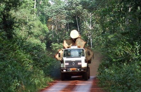
Today we celebrate the International Day for Biodiversity! Africa is home to an enormous variety of species and ecosystems of global importance. To further knowledge of African biodiversity, we study the structure and function of wood, as well as the role of trees and fauna in various African ecosystems.
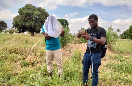
The Royal Museum for Central Africa has been organizing true fly (Diptera) training courses for more than 15 years. Initially, these trainings took place in Tervuren, Belgium with a focus on pest fruit fly species (Tephritidae). In the last decade the trainings took place in Africa and also covered trainings on fly families with an important role in pollination, such as hoverflies (Syrphidae), nose flies (Rhiniidae), and tangle-veined flies (Nemestrinidae).
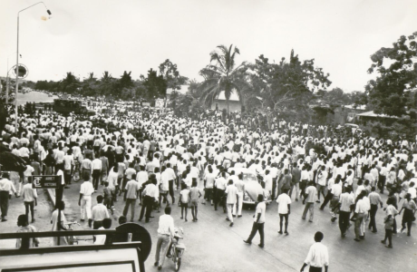
The Colonial Sources (CoSo) project aims to develop a digital platform as a gateway to archives and knowledge about the shared Belgian, Burundian, Congolese and Rwandan colonial past. The CoSo portal will, for the first time, bring together existing but still fragmented collections and information on the Belgian colonial period. It will also offer educational tools based on often asked questions about Belgian colonialism. The platform targets both researchers and a broad public.