Projects
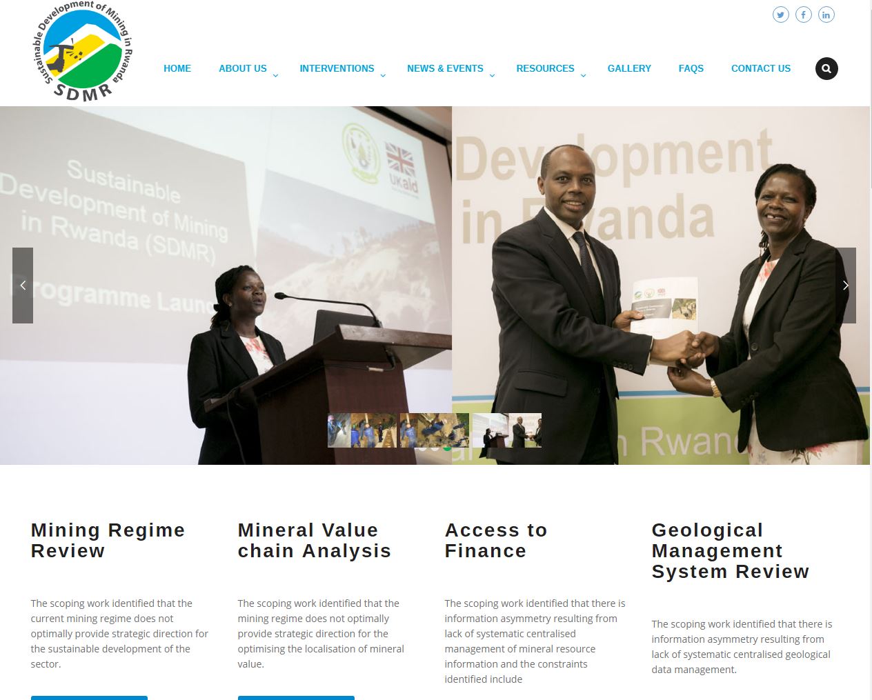
SDMR-RMB
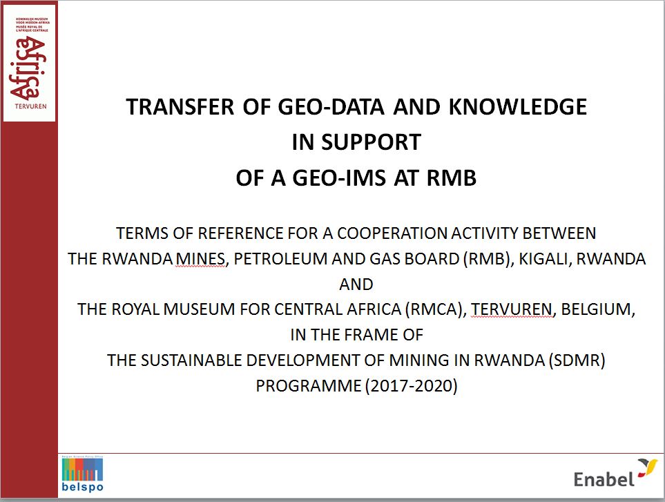
"TRANSFER OF GEO-DATA AND KNOWLEDGE IN SUPPORT OF A GEO-IMS AT RMB" A COOPERATION ACTIVITY BETWEEN THE RWANDA MINES, PETROLEUM AND GAS BOARD (RMB), KIGALI, RWANDA AND THE ROYAL MUSEUM FOR CENTRAL AFRICA (RMCA), TERVUREN, BELGIUM, IN THE FRAME OF THE SUSTAINABLE DEVELOPMENT OF MINING IN RWANDA (SDMR) PROGRAMME (2017-2020).
1. Institutional and sectorial context
The Rwanda government policies as defined in Vision 2020 and EDPRS II (Economic Development and Poverty Reduction Strategy) for the main subsector targets/objectives are:
- Improve geological and mining knowledge in Rwanda.
- Improve operating and investment conditions in Rwanda.
- Add value to mineral and quarry resources in Rwanda.
In response to these national policies, the Rwanda Mines, Petroleum and Gas Board (RMB) elaborated and planned a series of short and long term strategies and works. In particular, to achieve the objective one (i) RMB has identified the necessity to strengthen and increase geological and mining research in the country, notably through:
- Review existing geological and mineralogical data.
- Interpret and update existing geological and mineral data.
- Carry out new geological mapping on the scale of 1/50,000.
The Royal Museum for Central Africa (RMCA) has a long history of studying the geology and mineral resources of Rwanda, as the core business of its Earth Sciences Department is: (1) perform scientific research and (2) provide expertise, in the fields of regional geology and geodynamics, mineral resources, geological risks and environment of Central Africa. It has carried out at different times in the past decades expert works in the country in collaboration with Rwanda geological authorities.
In July 2004, a memorandum of understanding (MoU) was signed between the RMCA and the Rwanda Ministry of the Environment, Forests, Water and Natural Resources to promote and formalize future joint collaboration between the RMCA Earth Sciences Department and the Rwanda Agency in charge of Geology and Mines, in line with the government’s strategic plan and especially in the scope of objective (i), above.
The first project under this MoU was implemented by RMCA between 2004 and 2008 in cooperation with the former department responsible for the management of mineral resources (Geology and Mines Department - GMD) to carry out the:
- inventory of available geo-data in Rwanda;
- to transfer selected historical datasets related to geological mapping activities from RMCA archives to GMD;
- to develop an information management system (IMS);
- to launch a geographical information system (GIS);
- to scan and digitize maps and to set up a map server and online web portal.
This project was followed in 2009 by a 3-year long transfer of knowledge project for geological field mapping in the "Tungsten Belt", to alleviate a major "knowledge gap" that GMD had identified amongst its agents carrying out field works and research on the geology and mineral resources of Rwanda. Unfortunately, this project was terminated after one year due to lack of available GMD counterparts.
Today (2018) a momentum exists to reinvigorate the collaboration between RMCA and RMB following renewed contacts in 2013 between RMCA and the Government of Rwanda represented by the former Ministry of Natural Resources (MINIRENA). Discussions focused on how RMCA could contribute in the field of capacity building programs and joint scientific geological works with RMB within the Vision 2020 and EDPRS II long- and short-term framework.
This led to RMCA and RMB jointly drafting in 2014 – 2015 a project ToR focussed on strengthening the geological mapping and related activities of RMB, along the lines of what had been developed in 2009. In 2016 the exchange of a concept note of this project proposal between Rwanda Ministry of Finance and Economic Planning (MINECOFIN) and the Belgian Embassy in Kigali resulted in that the Belgian Technical Cooperation Agency (Enabel) allocated funds (191.000€) for the execution of such a mapping and transfer of knowledge programme.
Due to the institutional reforms that happened in last few years, the above programme could not be implemented, but in 2017 contacts between RMB / SDMR (DFID) and RMCA led to the proposal by RMB to re-allocate the 2016 earmarked funds to a collaborative activity from RMCA into the SDMR programme that would combine parts of earlier mentioned projects, concept notes and proposals.
This new collaboration programme will enable RMCA to bring essential data, information and knowledge to the SDMR programme, not only by providing access to geo-data pertaining to Rwanda available in its archives, but also by contributing its internationally recognized expertise of the geological build-up of Rwanda and working jointly with RMB staff to strengthen and increase geological and mining research in the country. The exchange of a concept note to that effect between MINECOFIN and the Belgian Embassy in Kigali resulted in October 2017 that Belgium agreed to re-allocate the funds (191.000€) to this new collaboration scheme under the condition that a new ToR would be submitted to the Enabel – funding agency.
2. Objectives and goals of the collaboration between RMCA and RMB
The objectives are fourfold:
- Re-establish (a structural) cooperation between RMB and RMCA in the fields of Geology and Mineral Resources.
- Acquire RMCA’s services to consult the SMDR team in designing and planning a centralized geo-data information management system (Geo-IMS).
- Transfer from RMCA’s archive on Rwanda to RMB important geo-data including but not limited to the raw data, shapefiles, geological maps, mineralogical maps, reports, etc.
- Acquire RMCA’s services to support RMB in geological interpretation of geo-data (existing, recently, and newly collected) through joint (field)work, transfer of knowledge and capacity building.
The main goals are to recover historic geological and mining data for inclusion in a digital national archive for the Rwandan mining sector and to strengthen and increase geological and mining (academic) research in the country.
The expected results / deliverables are (in chronological order):
- Geo-IMS ToR approved
- Geo-IMS fully operational at RMB
- Selected data from 2008 archive (pre-)processed and ready for transfer to Geo-IMS
- Supplemental data from RMCA archive data (pre-)processed and ready for transfer to Geo-IMS
- All data successfully uploaded into fully operational Geo-IMS
- National-level standardized terminology and national geologic map streamlined
- Report on Potential Target Area (PTA) produced incl. a new regional geologic map
- (Junior) RMB Geologists trained in national geologic topics and techniques.
Principal investigator:
- Max Fernandez-Alonso
Dates:
2018 2019Museum staff:
- Max Fernandez-Alonso
- Daniel Baudet
- Stijn DEWAELE
- Pascale Lahogue
- Gérard Nimpagaritse
- Mohamed Laghmouch