African Geographic Pictures Collection
Search |
About the collection |
Practical guide |
Contact
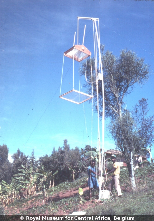
| Image number: | 86 |
| Feature : | rain simulator |
| Grouping : | measuring techniques |
| Discipline : | geomorphology |
| Year : | 1980 |
| Locality : | Rwaza Hill, Runyinya |
| Country : | Rwanda |
| Region - tribe : | Butare |
| Physiographic region : | Interlacustrine belt |
| Notice : | Rain simulators are used in the laboratory as well as in the field to measure realistic infiltration capacities of soils |
| Reference : | Moeyersons, Jan, 1980 Image 86. In : Moeyersons, Jan : "African Geographic Pictures", http://www.africamuseum.be/en/research/collections_libraries/earth_sciences/collections/geopic" |